
Hazleton ZIP Code Coverage
Two postal areas are defensibly associated with Hazleton: 18201 and 18202. Census tabulation areas associate both with the city, but a ZCTA is Census statistical geography, not a USPS delivery map or a municipal line. Hazleton records therefore need two checks. First, verify the postal label for the exact address. Then confirm the City, borough, or township shown by the County parcel record. That distinction matters because a postal address using Hazleton can reach beyond City territory, while a City address may need a different local record custodian than its mailing label suggests.
| ZIP | Areas Covered | Postal Evidence | Record Check |
|---|---|---|---|
| 18201 | Practical City-core postal area | City Hall, the Hazleton Area Public Library, and the Hazleton Magisterial District Judge list 18201 addresses. | Verify ZIP+4 with USPS, then confirm the municipality and parcel PIN. |
| 18202 | Wholly or partly associated with Hazleton in Census geography | County sources also use it for nearby Hazle Township locations. | Do not treat it as entirely within Hazleton City. Verify the physical municipality first. |
Neither row is a resident list. The table identifies a postal starting point, not an occupancy claim. The City-focused list has no confirmed PO-box-only or institution-only ZIP to add, and no verified per-ZIP resident count. A precise address is the better key for Hazleton parcel work.
Hazleton USPS ZIP Lookup Fields
The free USPS ZIP Code Lookup standardizes a postal address in three distinct ways. Use By Address when a street address is already known. Use By City and State to see postal possibilities for a place name, then return to a complete address before relying on the result. Cities by ZIP Code begins from the postal number and returns associated city naming. Each route has a Find button. USPS warns that returned standardized wording may differ from what was entered and that the result does not confirm a person or business at that address.
| USPS mode | Fields documented for Hazleton work | Best use |
|---|---|---|
| By Address | Company; required Street Address; optional Apt/Suite/Other; City; State; ZIP Code | Confirm an address and ZIP+4 mailing form. |
| By City and State | Required City and State | Check postal naming options before using a full address. |
| Cities by ZIP Code | Required ZIP Code | See the city names associated with a postal area. |
Postal verification answers a limited question: how the Postal Service handles a mailing address. It cannot establish City jurisdiction, property ownership, household membership, or a present recipient. Keep the USPS result with the full street address, then use the County map and parcel number for a records question.
Search a Hazleton ZIP by Address
A broad ZIP-wide resident search is not a verified free County feature. The public GIS searches road, municipality, parcel, or address, not ZIP. The Treasurer’s official tax search accepts name, parcel, or address, but no observed ZIP field. Pennsylvania’s voter-status page is a personal-status tool rather than a ZIP browser. Use the postal area to narrow a known location, not to promise a full directory of people.
- Enter the complete mailing address in the USPS address mode. Save the standardized street spelling and ZIP+4 if returned.
- Search the Luzerne County Public GIS Portal by the road or address. Record the municipality, parcel geometry, PIN, public owner field, and map context.
- Use the PIN with the Assessment Office or the Treasurer tax search when a defined property or tax record is needed. A tax correspondence address is not proof of occupancy.
- For a lawful election-record request, use the County’s documented voter-file request process for its listed report types. It is not an open ZIP-wide web search.
Once the correct postal area leads to a particular road, the Hazleton by-street directory has the fuller address-to-parcel workflow. A ZIP is useful context. The County PIN is the more durable local records key.
Hazleton ZIP History Since 2001
USPS established 18202 on July 1, 2001, moving a portion of delivery that had used 18201 to the Hazleton, Pennsylvania 18202 designation. That history explains why older papers may use 18201 more broadly while a current address check returns 18202. The change is postal history, not a transfer of municipal territory. It does not alter a deed, redraw City limits, or change which County office holds a parcel record.
Older directory and deed research needs the date of the source beside the address. If an older source and a current USPS result differ, preserve both forms in notes, confirm the street and municipality, and compare the parcel’s legal description. Do not force an older record into a modern ZIP label simply because the current lookup is more familiar.
Note: The Recorder, GIS, and postal systems have different update purposes, so a current address result is not a substitute for a dated land record.
Hazleton Postal and Parcel Keys
Postal, parcel, and legal-description fields belong in the same research notes but they are not interchangeable. USPS gives the standard mailing form. The public GIS gives map context and the County PIN. Assessment and Treasurer channels use the PIN to route a defined property record. Recorder systems rely on parties, dates, and the legal description to connect the land across time. Keeping each field with the source that produced it makes a Hazleton address question easier to reproduce when the street spelling, postal label, or map presentation changes.
| Identifier | What it helps confirm | What it cannot establish alone |
|---|---|---|
| USPS ZIP and ZIP+4 | Postal delivery form for an exact mailing address. | City jurisdiction, parcel identity, or a person’s presence at the address. |
| County parcel PIN | Mapped parcel, assessment route, and a bridge to land-record work. | Every person associated with the parcel. |
| Legal description | Recorded lot, block, or metes-and-bounds land identity across deed records. | A current mailing label or full household information. |
| Municipality name | The City, borough, or township whose defined record route may apply. | A postal delivery boundary. |
The free public GIS has no verified ZIP field. Its search bar is for a road, municipality, parcel, or address, and its parcel search accepts the 17-character PIN without dashes. It can show streets and structure-address layers, but it is not a free postal-area filter. When a parcel cannot be resolved online, the Assessment Office counter and its mail, email, or fax property-card route are documented alternatives.
Hazleton ZIP Access Limits
A known postal area does not create an all-address report. The Treasurer search was observed with last name or business, first name or initial, parcel number, and address fields, not a ZIP field. The public GIS and Treasurer routes are useful only after the research narrows to a property, road, parcel, or address. The state voter-status page was not available for full field inspection and should not be represented as a postal-area browsing tool. County voter-file requests are controlled records requests, not a substitute for a ZIP-wide search.
For an existing City record tied to a defined Hazleton property, use the City Open Records Office or the statewide Pennsylvania Right-to-Know Law guide to frame a specific request. The RTKL route is for records an agency maintains, and a custodian may redact information or direct the requester to the office that holds the record. For older County material, the Recorder office, Records Facility, library, and historical-society shelves remain practical alternatives when an online map or portal stops short.
Note: A failed postal, map, or tax query is not proof that no record exists, especially when the question depends on a different custodian or date band.
Hazleton ZIP Mismatch Checks
Luzerne County says municipalities assign property addresses with County 911 consultation. Its E-911 guidance gives a particularly useful local warning: Hazleton City and West Hazleton Borough can both have East Shoemaker Street numbers 1 through 100. A street name and postal area alone can therefore point to the wrong jurisdiction. The same guidance notes that older numbers may have come from a post office or municipal official, and a mailing city or ZIP can fail to identify the governing municipality.
Hazleton’s current grid adds another check. North-south numbering begins at Board Street, east-west numbering begins at Wyoming Street, and blocks north of Diamond Avenue begin at 500. Those rules help spot a directional or number error, but they do not replace the municipality and PIN check.
Hazleton Postal Terms
Postal and land-record language can look alike while serving different purposes. These definitions help keep a Hazleton ZIP search from drifting into a parcel or correspondence record that answers a different question.
- ZIP and ZIP+4
- A ZIP identifies a postal delivery area. ZIP+4 adds delivery-sequence detail for a more specific mail destination.
- PO-box ZIP
- A postal number used for post-office-box delivery. No Hazleton example was verified here, so do not assume one from a general label.
- Unique ZIP
- A ZIP assigned to a single organization or large receiver. No such Hazleton assignment was confirmed in the research.
- Carrier route
- A Postal Service delivery grouping. It is not a City boundary and not a County parcel identifier.
- Parcel PIN
- The County’s property identifier, used to connect mapped land, assessment work, and recorded legal descriptions.
A situs address is the parcel’s physical location. A mailing or correspondence address is where a bill or notice goes. A legal description is the recorded land identity, often using lot, block, or metes-and-bounds language. These are separate fields that can remain important after a postal label changes.
Hazleton ZIP Searches and Privacy
Some missing address information is intentional. Pennsylvania’s Address Confidentiality Program gives qualifying survivors a substitute mailing address for certain government, court, identification, vehicle, voter, school, and marriage records. It is administered by the Office of Victim Advocate as part of a safety plan and renews every three years. A missing or substitute address should never be treated as an invitation to reconstruct a protected location.
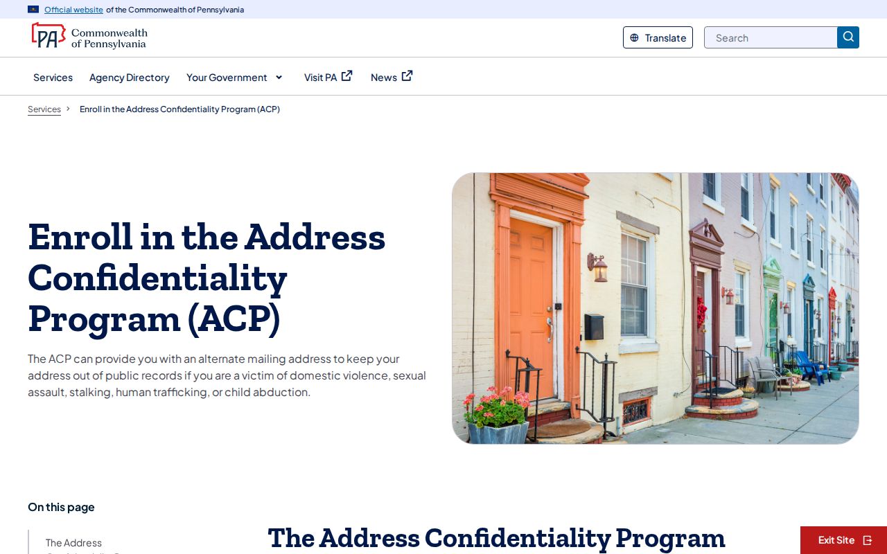
The Commonwealth’s Address Confidentiality Program page shows the official enrollment route and program context for protected-address participants.
Postal standardization remains useful for lawful mail and record matching, but protected-address rules and office-specific redactions still control what a public search can show.
Note: Pennsylvania law limits unauthorized disclosure or use of a protected actual address, and public-record access never authorizes harassment or harmful tracking.